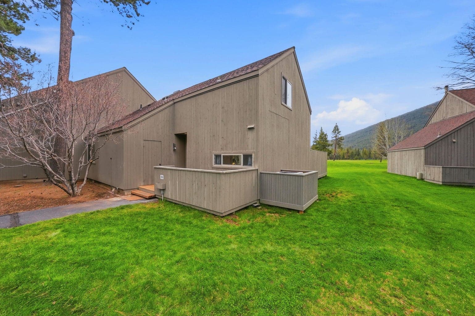
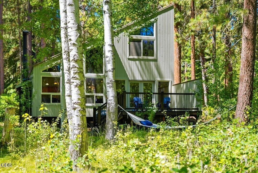
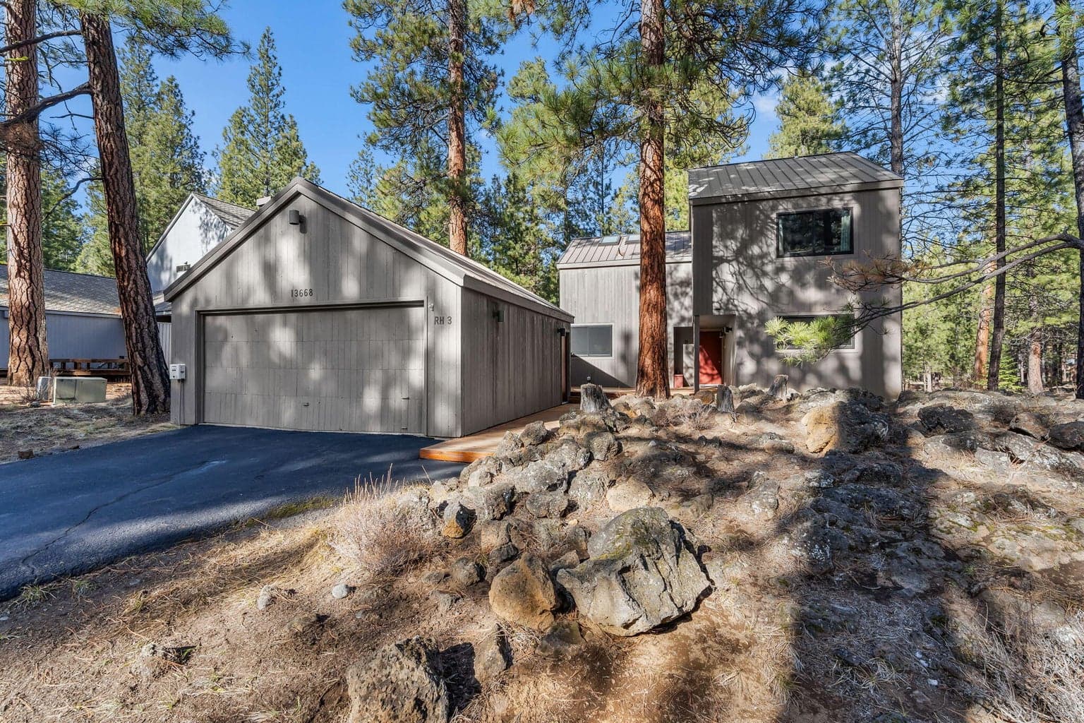
0.35 acres on the county assessor's map, tax lot 140915C002000 · County record. Deschutes County Assessor's Office.
Lot lines come from the county assessor’s tax maps. They show the recorded shape of a parcel, not a survey, and they are not a legal boundary. Order a survey before you rely on a line.
Every active and pending listing of every property type on the regional MLS through Oregon Data Share inside the recorded boundary of Black Butte Ranch. The wash is sales density of closes in the last 90 days; homes for sale and pending stay as marks. Pulses and the sold count are the closes of the last 30 days. Counts and medians cover every listing read for this map. The map outlines the 55 places with a recorded boundary; listings outside them are counted and drawn as dots with no outline to tap. Roads, rivers and lakes: US Census TIGER/Line 2024, drawn in this map's own projection.
“Fantastic professional service. Goes the extra mile to cover the needs of his customers. Always prompt with replies and providing up to date…”Paul Robinson
Listing courtesy of Kizziar Property Co., agent Tim Kizziar, 541-419-5577
Data last updated September 7, 2026
Based on information from Oregon Data Share. All information provided is deemed reliable but is not guaranteed and should be independently verified. Listing information is for consumers personal, non-commercial use only.